Day 8: Wednesday, September 12, 2012
Underway: 7:15 am Motor Off: 4:30 pm Miles Traveled: 43 Stayed At: Anchor
 First Things First: First time we passed a tow – the Aubrey Harwell – stressful but we ended up beating him to the next lock (yah!); started our first book on tape (Clive Cussler’s Devils Gate) – it wasn’t too windy today so we could actually hear it; first time swabbing the decks (Aurora needed it); first mosquitos.
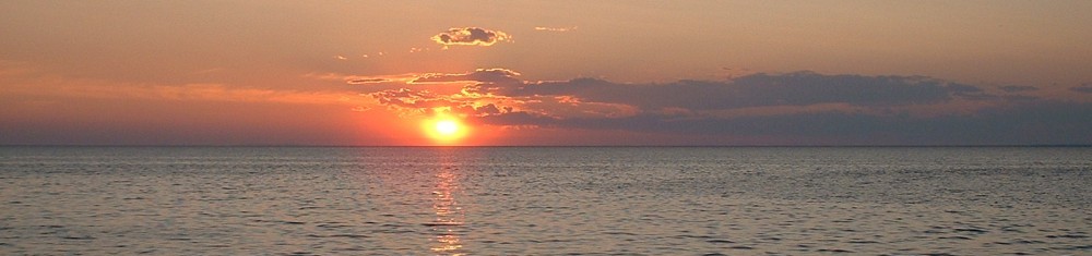
 Mile 580 to Mile 537: Today was great day to travel on the river. A modest breeze, sunshine, not too hot and light traffic. We stopped in Bellevue, Iowa to walk and explore for a few minutes. If you stop at the Phillips 66 Station there you might meet the clerk who helped us with our purchases and questions – she was one the most bubbly and positive people we have met on this trip – I wish I knew her name. We also stopped in Savana, Illinois just before stopping for the day to get gas. A nice river town with two sets of courtesy docks in between a long waterfront walkway and park. Friendly too. In the span of less than four blocks carrying the gas can, we had several people ask if we wanted a ride including a fisherman in a boat. Amazing.
 Yesterday, we passed into another state – Illinois – our forth state so far. At 1:40 pm today at Mile 545, we hit the 300 mile mark –we are now 1/20 of the way around. Wow!
 According to the chart today, we passed by some interesting places like Deadman’s Slough @ Mile 569, Sinsinawa River, Snag Slough, Shinkles Island Bar Light and Daymark @ Mile 574.1, Alligator Lake, Mold Slough, Marquoketa Levee, Island 241, Fever River, Big Soupbone Island and Little Soupbone Island, Crooked Slough, and Smallpox Creek. We almost anchored at Boy Scout Island which reminded us of home. Sometimes reading the chart is almost as interesting as watching the scenery. There is a story behind every one of these places.
 FYI: Wing dams are low underwater dams usually made of piles of rock that jut straight out from shore to force the water flow into the main channel to increase the flow rate and reduce sedimentation (see black lines in chart above). They vary in length, depth and location. They are not marked, you usually can’t see them and you really don’t want to hit them. There are thousands of them along the shores, islands and sloughs of the Mississippi River.

Hello from sunny and hot Las Vegas, sure is fun to read your posts. Talk to you soon. Happy Sailing from the Gilbertson’s