Day 51: Friday, October 26, 2012
Underway: 7:48 am Motor Off: 4:55 pm Miles Traveled: 37 (+) Stayed At: Marina
 First Things First: First time at a free dock at a marina; first time “getting lost”.
 Mile 53 to Mile 16: For Saturday, winds 18-22 knots, rough. For Sunday, winds 20-28 knots, rough. For Monday, winds 18-27 knots, rough. That was the weather forecast that greeted us this morning. A strong cold front is moving through the area and bringing lots of wind but surprisingly (and thankfully) no rain or storms. We aren’t going to be able to make it to the Eastern Shores Marina before Mobile Bay gets too rough for us so we are going to head for Dead Lake Marina – its actually called the River Delta Marina now – to wait for the wind to die down to a light chop so we can safely cross Mobile Bay to our next marina. Its only about 10 miles on the Bay but we don’t want to be surfing down 8 or 9 foot waves on our little boat – ever.


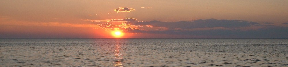
 The day was perfect for traveling – again – and we enjoyed a sunny, hot and fast run down the Mobile River toward the Big Bayou Canot where we needed to turn for the marina. The first sign of our return to civilization was the “Dolly Parton Bridge” which crosses the Mobile River at Mile 21. Can you guess why it has such a unique local nickname? This is the first bridge in 70+ miles so it was a welcome sight. We also got a good phone signal so we used the opportunity to make a couple of calls, download some charts for Mobile Bay and invent a new word – telowing.
Telowing: verb – the act of wallowing in one area to try to take advantage of a good telephone signal to make phone calls or use the internet. To telow.


 After driving around in circles for a half hour (telowing) to finish our business, we continued down the river towards our turn up the Big Bayou Canot at Mile 16. We had instructions on how to get to the marina from Rumpshaker but we made a wrong turn and ended up on a curvy (and scenic) 5 mile detour down the Big Bayou Canot before we figured out our mistake. We didn’t have a chart for this part of the river on the Ipad but we finally learned that our 10+ year old handheld GPS actually showed where we were and where we were supposed to be so we turned around and retraced our steps back to our wrong turn and went another 5 miles north to our final destination. This last 5 miles was well worth the effort though since it proved to be one of the most scenic parts of our entire trip – the river traveled through a beautiful cypress swamp with lots of water birds, Spanish moss and old cypress trees. No alligators yet, though.

 After traveling 37 official miles and 15+ unofficial miles, we finally arrived at our home for the next several days where we are going to hang out until the winds die down and we can finally say we have arrived at the Gulf of Mexico. It looks like it will be a nice place to spend a few days chillin’ – a lot more comfortable than hanging on an anchor somewhere for three or four days with no electricity, water, bathrooms or access to shore. Thank you Rumpshaker, Lauren’s Grace, Eagle One and Mo for looking out for us. We are safe and sound and looking forward to exploring our new home for the next few days.
